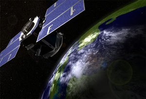
Aqua
|
Aqua
|
Aura
 |
Aura
- Ozone Monitoring Instrument (OMI)
|
CALIPSO
 |
Cloud-Aerosol Lidar and Infrared Pathfinder Satellite Observations (CALIPSO)
- Cloud-Aerosol Lidar with Orthogonal Polarization (CALIOP)
- Imaging Infrared Radiometer (IIR)
- Wide Field Camera (WFC)
|
CloudSat
 |
CloudSat
- Cloud Profiling Radar (CPR) is a 94-GHz nadir-looking radar
|
EnviSat
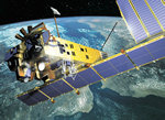 |
ENVISAT
|
POES NOAA-16
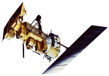 |
Polar Orbiting Environmental Satellite (POES)
- Advanced Very High Resolution Radiometer (AVHRR)
- Tiros Operational Vertical Sounder (TOVS)
|
SeaWiFS
 |
Sea-viewing Wide Field-of-view Sensor (SeaWiFS) |
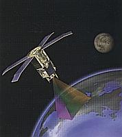
Terra
 |
Terra
|